

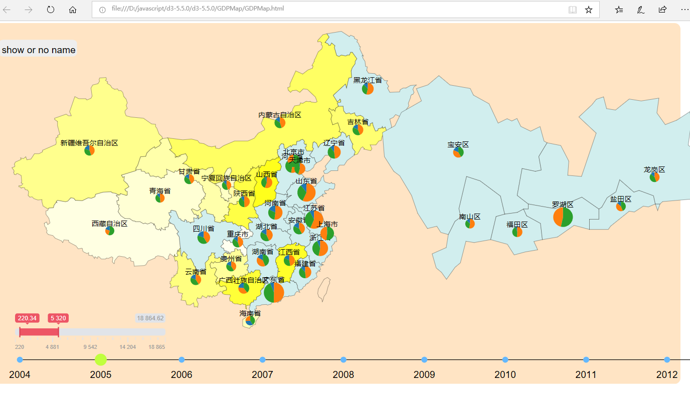
D3.js 制作中国地图
from: http://d3.decembercafe.org/pages/map/index.html
GeoJSON is a format for encoding a variety of geographic data structures.
https://msdn.microsoft.com/en-us/library/mt712806.aspx
GeoJSON 是用于描述地理空间信息的数据格式。GeoJSON 不是一种新的格式,其语法规范是符合 JSON 格式的,只不过对其名称进行了规范,专门用于表示地理信息。
GeoJSON 的最外层是一个单独的对象(object)。这个对象可表示:
几何体(Geometry)。
特征(Feature)。
特征集合(FeatureCollection)。
最外层的 GeoJSON 里可能包含有很多子对象,每一个 GeoJSON 对象都有一个 type 属性,表示对象的类型,type 的值必须是下面之一。
Point:点。
MultiPoint:多点。
LineString:线。
MultiLineString:多线。
Polygon:面。
MultiPolygon:多面。
GeometryCollection:几何体集合。
Feature:特征。
FeatureCollection:特征集合。
在线工具
在线生成 GeoJSON:http://geojson.io/
简化、转换 GeoJSON 和 TopoJSON:http://mapshaper.org/
https://pypi.org/project/geojson/
<!DOCTYPE html>
<html lang="en">
  <head>
        <meta charset="utf-8">
        <title>中国地图</title>
  </head>
<style>

</style>
<body>
<script src="d3.v3.min.js"></script>
<script>
	var width  = 1000;
	var height = 1000;

	var svg = d3.select("body").append("svg")
	    .attr("width", width)
	    .attr("height", height)
	    .append("g")
	    .attr("transform", "translate(0,0)");

	var projection = d3.geo.mercator()
						.center([107, 31])
						.scale(850)
    					.translate([width/2, height/2]);

	var path = d3.geo.path()
					.projection(projection);


	var color = d3.scale.category20();


	d3.json("china.geojson", function(error, root) {

		if (error)
			return console.error(error);
		console.log(root.features);

		svg.selectAll("path")
			.data( root.features )
			.enter()
			.append("path")
			.attr("stroke","#000")
			.attr("stroke-width",1)
			.attr("fill", function(d,i){
				return color(i);
			})
			.attr("d", path )
			.on("mouseover",function(d,i){
                d3.select(this)
                    .attr("fill","yellow");
            })
            .on("mouseout",function(d,i){
                d3.select(this)
                    .attr("fill",color(i));
            });

	});

</script>

</body>
</html>
https://www.webdesignerdepot.com/2009/06/50-great-examples-of-data-visualization/

 浙公网安备 33010602011771号