D3.JS V4 绘制中国地图
代码:
<!DOCTYPE html>
<meta charset="utf-8">
<style>

    .states :hover {
        fill: red;
        stroke-width: 2px;
    }

    .state-borders {
        fill: none;
        stroke: #fff;
        stroke-width: 0.5px;
        stroke-linejoin: round;
        stroke-linecap: round;
        pointer-events: none;
    }

</style>
<svg width="1200" height="800" style="border:1px gainsboro solid"></svg>
<script src="https://d3js.org/d3.v4.min.js"></script>
<script src="https://d3js.org/topojson.v2.min.js"></script>
<script src="jquery-1.12.1.min.js"></script>

<script>


    var svg = d3.select("svg"),
            width = svg.attr("width"),
            height = svg.attr("height");

    var projection = d3.geoMercator()
            .center([107, 31])
            .scale(950)
            .translate([width/2, height/2+height/6])
    var path = d3.geoPath()
            .projection(projection);


    d3.json("china.json", function(error, us) {
        if (error) throw error;

        svg.append("g")
                .attr("class", "states")
                .selectAll("path")
//                .data(topojson.feature(us, us.objects.states).features)
                .data(us.features)
                .enter().append("path")
                .attr('stroke','white')
                .attr('fill','lightgray')
                .attr("d", path)
                .append('title')
                .text(function(d){
                    a=d
                    return d.properties.name
                });

        svg.append("path")
                .attr("class", "state-borders")
                .attr("d", path(topojson.mesh(us, us, function(a, b) { return a !== b; })));

        a={"value":[{"BusStopCode":"01012","RoadName":"Victoria St","Description":"Hotel Grand Pacific","Latitude":29.160752671000068,"Longitude":113.56942793100006 }]}
        svg.selectAll("circle")
                .data(a.value).enter().append("circle")
                .attr('stroke','red')
                .attr('fill','green')
                .attr("d", path)
                .attr("r", 2)
                .attr("transform", function(d) {
                    return "translate(" + projection([
                                d.Longitude,
                                d.Latitude
                            ]) + ")";
                })
                .append('title')
                .text(function(d){
                    a=d
                    return d.BusStopCode
                });
    });


</script>
从http://blog.csdn.net/lzhlzz/article/details/41347929 中下载的地理信息的中国JSON文件绘制得到的图如下:
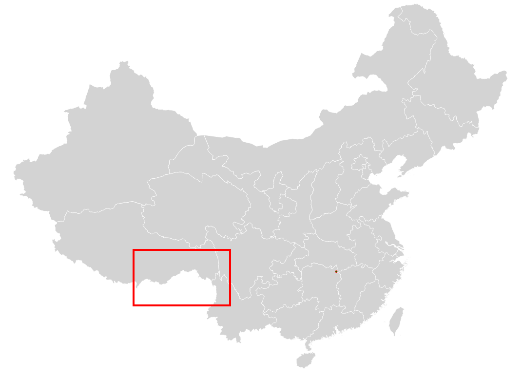
与正常的中国地图相比,可以发现西藏那一块缺了存在争议的某一部分,关于这个,我们,当然是要加上去的。。。
新的china.json数据连接在这![]() https://files.cnblogs.com/files/combfish/china.zip,得到的图如下:
https://files.cnblogs.com/files/combfish/china.zip,得到的图如下:
 https://files.cnblogs.com/files/combfish/china.zip,得到的图如下:
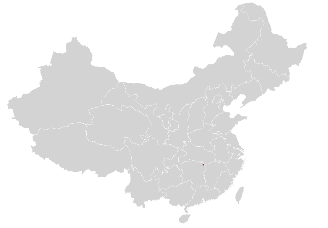

 浙公网安备 33010602011771号