geojson介绍和常用转换编辑工具
GeoJSON是一种基于JSON的地理空间数据交换格式,它定义了几种类型JSON对象以及它们组合在一起的方法,以表示有关地理要素、属性和它们的空间范围的数据。
2015年,互联网工程任务组(IETF)与原始规范作者组建了一个GeoJSON工作组,一起规范GeoJSON标准。在2016年8月,推出了最新的GeoJSON数据格式标准规范RFC 7946。
GeoJSON使用唯一地理坐标参考系统WGS1984和十进制度单位,一个GeoJSON对象可以是Geometry, Feature或者FeatureCollection。
其几何对象包括有点(表示地理位置)、线(表示街道、公路、边界)、多边形(表示国家、省、领土),以及由以上类型组合成的复合几何图形。
注意:leaflet的polygon坐标是[lat,lon],GEOJSON是[lon,lat],这2个是反的
点对象:

function g(feature, layer) {
            // does this feature have a property named popupContent?
            if (feature.properties && feature.properties.popupContent) {
                layer.bindPopup(feature.properties.popupContent);
            }
        }

        var geojsonFeature = {
            "type": "Feature",
            "properties": {
                "name": "Coors Field",
                "amenity": "Baseball Stadium",
                "popupContent": "This is where the Rockies play!"
            },
            "geometry": {
                "type": "Point",
                "coordinates": [100, 31]
            }
        };

        L.geoJSON(geojsonFeature, {
            onEachFeature: g
        }).addTo(map);
线要素:
var draw_line = {
            "type": "Feature",
            "geometry": {
                "type": "LineString",
                "coordinates": [
                    [110, 11],
                    [110, 49]
                ]
            },
            "properties": {
                "popupContent": "This is a free bus line that will take you across downtown.",
                "underConstruction": true
            },
            "id": 2
        };

//绑定事件
function f(feature, layer) {
    layer.bindPopup(feature.properties.popupContent);
}

//增加到地图
var ss = L.geoJson(draw_line, {
    style: {
        "color": 'black',
        "weight": 1
    },
    onEachFeature: f
}).addTo(map);
多边形(Polygon)
var states = [{
    "type": "Feature",
    "properties": {"party": "Republican"},
    "geometry": {
        "type": "Polygon",
        "coordinates": [[
            [-104.05, 48.99],
            [-97.22,  48.98],
            [-96.58,  45.94],
            [-104.03, 45.94],
            [-104.05, 48.99]
        ]]
    }
}, {
    "type": "Feature",
    "properties": {"party": "Democrat"},
    "geometry": {
        "type": "Polygon",
        "coordinates": [[
            [-109.05, 41.00],
            [-102.06, 40.99],
            [-102.03, 36.99],
            [-109.04, 36.99],
            [-109.05, 41.00]
        ]]
    }
}];

L.geoJSON(states, {
    style: function(feature) {
        switch (feature.properties.party) {
            case 'Republican': return {color: "#ff0000"};
            case 'Democrat':   return {color: "#0000ff"};
        }
    }
}).addTo(map);
下面介绍几个geojson转换和处理工具:
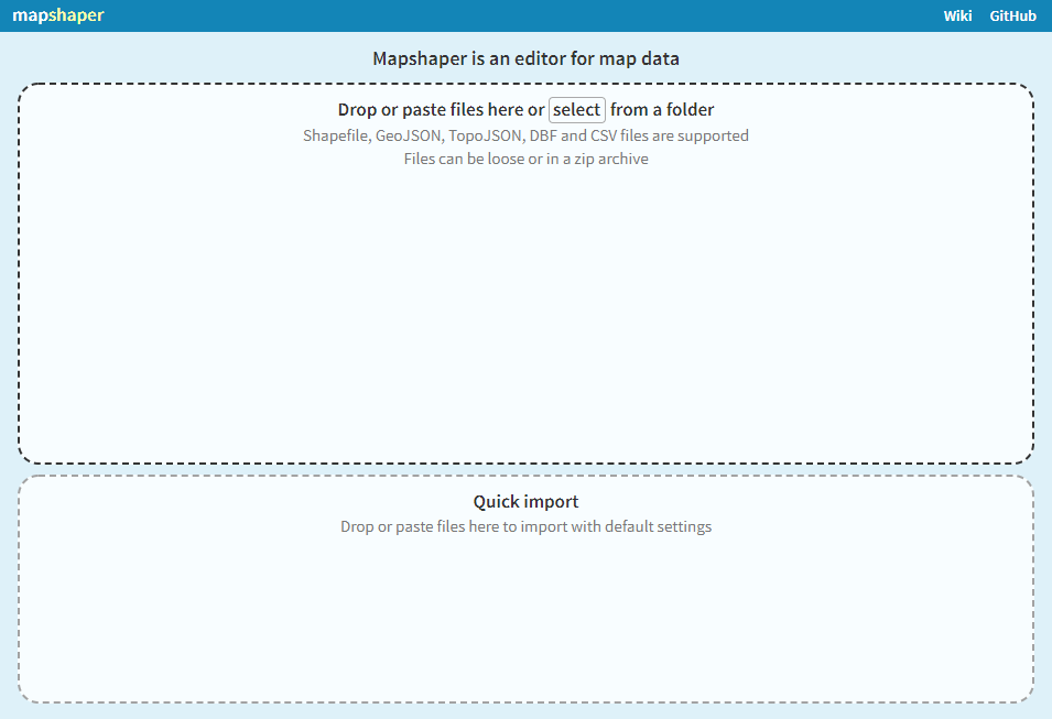
1、格式转换处理工具:https://mapshaper.org/
2、geojson编辑工具(国内需要FQ):http://geojson.io/

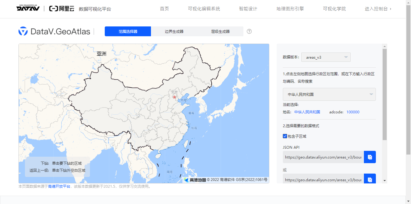
3、省市边界下载:http://datav.aliyun.com/portal/school/atlas/area_selector
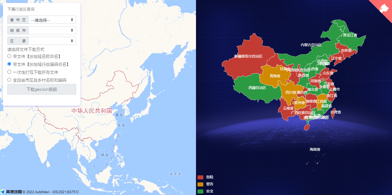
4、省市边界下载:https://hxkj.vip/demo/echartsMap/
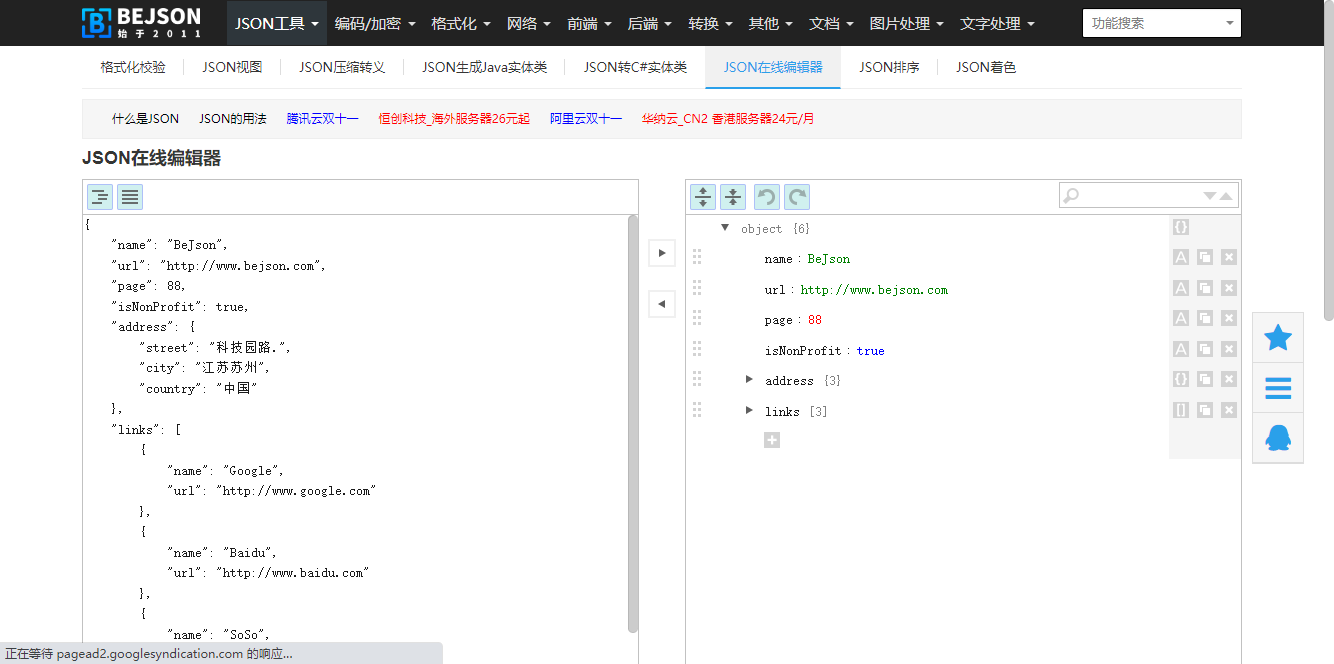
5、json数据编辑器:http://www.bejson.com/jsoneditoronline/

 浙公网安备 33010602011771号